Ireland · Route planning · Last reviewed 11 September 2026
Wild Atlantic Way route: itinerary ideas and driving in Ireland
2,500 kilometres, nine counties, and the stretch most itineraries get wrong.
The Wild Atlantic Way route runs roughly 2,500 kilometres down the western seaboard, from Malin Head in Donegal to Kinsale in County Cork, through nine counties. A realistic Wild Atlantic Way itinerary does not attempt all of it. That is the single most useful sentence on this page, and almost every first-time plan ignores it.
It is not one road. Fáilte Ireland waymarked an existing network of coastal roads in 2014 and gave the sequence a name, which means you can join it and leave it almost anywhere. That flexibility is the point, and treating it as a fixed line to be completed end to end turns a good trip into a driving task.
Section 1The Wild Atlantic Way route: how many days it actually needs
How many days you need is the first real decision, and the honest arithmetic is this: two weeks to drive the full Wild Atlantic Way route without resenting it, four to five days to do one section properly, and about ten days to cover two adjoining sections at a reasonable pace. Asking how many days for the whole thing and hearing "a week" is how most bad Wild Atlantic Way itinerary plans start.
The reason a week does not work is not the distance but the speed. Coastal roads in the west are slow by design and slower by condition. A rule that holds up well in practice is to take whatever a mapping app tells you and add half again, then subtract time for the stops you will actually make, which will be more than you planned because that is the entire reason for coming.
A third reason, less obvious: the west coast has very few through-routes. The road follows the coast because there is no inland alternative for long stretches, so a detour is rarely a shortcut and a missed turn can cost an hour.
The second reason is weather. Building a plan that requires every day to work is building a plan that will fail once, and a Wild Atlantic Way route plan with no slack in it fails on the first wet morning. A route with slack in it absorbs a wet Tuesday; a route with three fixed bookings a day does not.
Sections of the route, with a realistic minimum time for each and what the section is for.
| Section | Counties | Minimum days | Best for | Nearest airport |
|---|---|---|---|---|
| Northern headlands | Donegal | 4 | Sea cliffs, emptiness | Donegal, City of Derry |
| Surf coast | Sligo, Leitrim, Mayo | 4 | Beaches, Achill, quiet roads | Ireland West Knock |
| Bay coast | Galway | 3 | Connemara, Aran Islands | Shannon |
| Cliff coast | Clare | 2 | Cliffs of Moher, the Burren | Shannon |
| Southern peninsulas | Kerry, Cork | 5 | Ring of Kerry, Dingle, Beara | Kerry, Cork |
Section 2A Wild Atlantic Way itinerary by section
A Wild Atlantic Way itinerary works best built around one or two of the blocks below. Pick by what you want rather than by what is famous. The sections differ more from each other than the single route name suggests.
Donegal
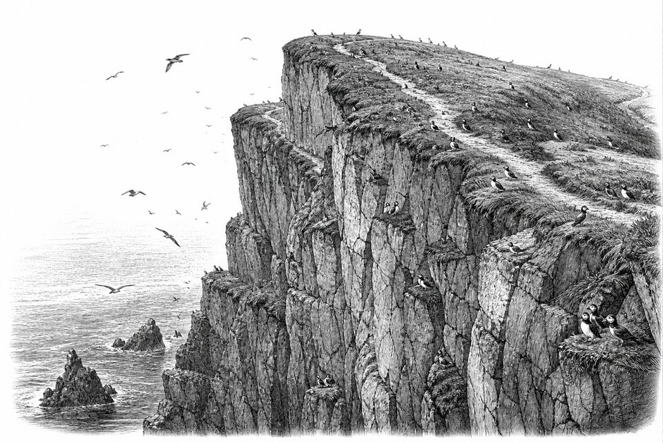
The most dramatic and the least visited. Slieve League has sea cliffs several times the height of the Cliffs of Moher and a fraction of the visitors. Malin Head is the northern end of the whole route. Roads are slow and the weather is the least reliable on the coast.
Go if you want scale and solitude. Avoid if you have three days.
Mayo and Sligo
Achill Island, Keem Bay, Downpatrick Head and a long run of surf beaches. Sligo carries the Yeats associations and a good food scene for its size. This section has the emptiest good roads on the route.
The best value section for accommodation in high season.
Galway and Connemara
Bog, quartzite and lakes, with Kylemore Abbey as the photographed centrepiece and Connemara National Park behind it. Ferries to the Aran Islands leave from Rossaveal, and in season from Doolin further south. Galway city is the best base on the west coast.
Two days minimum, and the islands need a third.
Clare
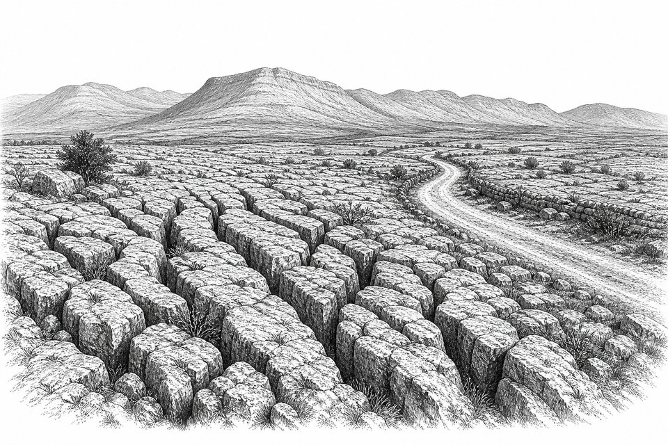
The Cliffs of Moher and the Burren, a limestone pavement carrying alpine and Mediterranean plants side by side that has no equivalent in the country. Doolin is the traditional-music anchor. The most accessible section if you land at Shannon.
Go to the cliffs early or late; the middle of the day is the crowd.
Kerry and West Cork
The Ring of Kerry, the Dingle Peninsula with the Slea Head drive, Killarney National Park, and the Beara and Sheep's Head peninsulas beyond them. The most infrastructure and the most traffic. Skellig Michael landings run in summer only and are weather-dependent.
Dingle over the Ring of Kerry if you have to choose one.
Section 3Driving in Ireland, practically
Traffic keeps to the left. Beyond that, driving in Ireland is mostly a question of adjusting expectations about road width and speed, and driving the Wild Atlantic Way in particular means accepting that the good bits are on the slow roads.
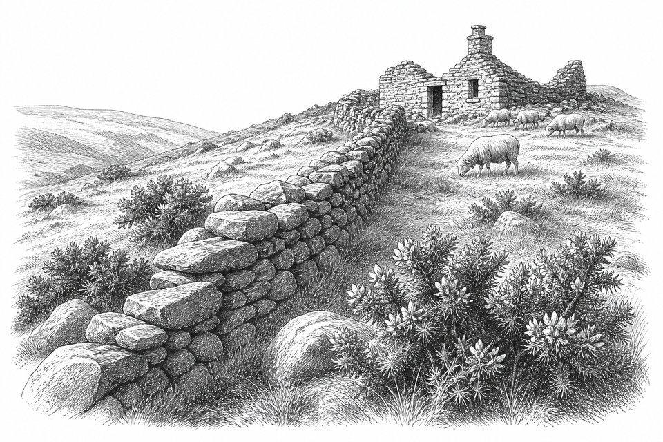
National roads are prefixed N and are what you would expect. Regional roads are prefixed R and carry most of the coastal route; they are narrower, frequently bounded by stone walls or hedgerow, and can reduce to a single usable lane with passing places. Local roads prefixed L can be narrower still. Speed limits are posted in kilometres per hour and are often optimistic relative to what the road actually allows.
Automatic transmission hire cars are less common in Ireland than in North America and cost noticeably more. They need booking well ahead, not picked up on arrival. Insurance excess terms are worth reading properly; the combination of stone walls and narrow roads makes wing-mirror damage the most common claim on the west coast. Where you collect the car depends on where you land, and flying into Ireland covers which airport suits which stretch of the route. The driving itself has enough in it to need its own page: driving in Ireland covers the road classes, how a single-track road is actually passed, and the barrier-free toll around Dublin that visitors only discover afterwards.
Anyone driving the Wild Atlantic Way for the first time underestimates fuel stops. Fuel is easy to find in towns and can be sparse on the peninsulas. Filling at half a tank rather than a quarter is the habit worth adopting. Mobile coverage is good in towns and patchy in the mountains, so downloading maps for offline use is sensible rather than paranoid.
One point that catches visitors, and it changes the whole feel of driving in Ireland on this coast: going northbound means the sea is on your left and every viewpoint stop involves crossing oncoming traffic. Going north to south keeps you on the seaward side.
Section 4The best time to visit Ireland for this route
May, June and September, in that order of preference. The best time to visit Ireland for a coastal driving trip is decided by daylight and by opening hours rather than by temperature, which barely moves across the year.
The spread along the route is wider than it sounds. On 21 June Malin Head at the northern end has 17 hours 28 minutes of daylight against 16 hours 38 minutes at Mizen Head in the far southwest; on 21 December the order reverses, 7 hours 05 minutes in Donegal against 7 hours 50 minutes in Cork. The north gives you the longer summer day and takes it back in winter, which is why a December itinerary that works in Kerry does not work in Donegal.
In June the far northwest holds usable light until around eleven at night, which effectively adds a day to a week. July and August have the same light and considerably more traffic, higher accommodation prices and full car parks at the well-known stops. September keeps most seasonal attractions open with a fraction of the crowds.
If the question is narrowed to the best time to visit Ireland for this specific route rather than for the country generally, September edges June, because the sea is warmest and the roads are emptiest at the same time.
October to March is the honest off-season. Days are short, many coastal attractions, island ferries and smaller restaurants close or reduce hours, and the weather is genuinely rough on exposed headlands. The compensation is that the landscape is at its most dramatic and you will have it to yourself.
On rain: it falls often and rarely for long. The useful planning assumption is not a dry week but a wet hour in most days, which is a packing decision rather than an itinerary one. Waterproofs and boots matter more than an umbrella, which the wind will take.
Section 5The other two routes
The west coast is not the only option, and for a short trip it is often the wrong one. If you have fewer than four days, one of the two routes below will give you a better week than a compressed run along the Atlantic.
Ireland's Ancient East covers the opposite side of the country and suits a slower, shorter itinerary. Newgrange in the Boyne Valley predates the pyramids at Giza, and the passage tomb's alignment with the winter solstice sunrise is the reason it draws the attention it does; access to the chamber is by guided tour from the visitor centre rather than directly. Glendalough in Wicklow, the Rock of Cashel in Tipperary and Kilkenny's medieval core sit within reach of one another and of Dublin, which makes a four-day loop from the capital genuinely feasible.
Ireland's Hidden Heartlands is the least travelled, built around the Shannon and the midlands. It is where accommodation is easiest to find at short notice in July and August, which makes it the useful fallback when the coast is booked out.
A note on geography that affects bookings rather than driving: Ireland here means the island. Six counties in the north-east form Northern Ireland and are part of the United Kingdom, which changes currency, mobile roaming and occasionally car hire terms. The Giant's Causeway is in that jurisdiction; the Cliffs of Moher are not.
For the places rather than the routes, see beautiful places to visit in Ireland.
Common questions
How many days do you need for the Wild Atlantic Way?
To drive the whole route without rushing, around two weeks. To enjoy one section properly, four to five days. Anyone attempting the full length in a week will spend most of it in the car, which is the single most common planning mistake on this route.
Which direction should you drive it?
North to south keeps the sea on your right, which puts you on the outside of the coastal road and makes stopping at viewpoints easier. Fáilte Ireland waymarks it that way. Driving south to north works, but you will be crossing traffic to stop.
What is the best section if you only have a few days?
Kerry and West Cork for classic coastal scenery with the most infrastructure; Connemara and Mayo for emptier landscape; Donegal for the most dramatic cliffs and the fewest people. Clare, with the Cliffs of Moher and the Burren, is the easiest to reach from Shannon.
Is the driving difficult?
Not technically, but the roads are narrower than most visitors expect and the R-classified coastal roads can reduce to a single usable lane. Traffic keeps to the left. Distances take longer than a map suggests, roughly half again as long as the same distance elsewhere.
When is the best time to visit Ireland for this route?
May, June and September. Long daylight, fewer crowds than midsummer, and most seasonal attractions open. July and August are busiest and priciest; October to March brings short days and reduced opening hours on the coast.
Do you need to book accommodation in advance?
In July and August on the coast, yes, well in advance. In shoulder season a few days ahead is usually enough. The midlands and the Shannon region are the fallback when the coast is full.